
Clayton ZIP Code Postal Coverage
Johnston County's town material associates Clayton with three ZIPs: 27520, 27527, and 27528. Those associations should be used as an address-verification matrix, not as three neighborhood names. The county separately identifies 27520 as primarily Clayton and identifies an Archer Lodge association for 27527. Its primary-ZIP table does not place 27528 in that same list, even though the town page includes it for Clayton. An exact address needs a postal check before any one of these codes is treated as the delivery result.
| ZIP | Areas Covered | Post Office | Notes |
|---|---|---|---|
| 27520 | Primarily Clayton; also unincorporated Wilsons Mills, Powhatan, and parts of Willow Springs | Clayton association in official Johnston County ZIP material | Postal area extends beyond the town boundary. |
| 27527 | Clayton-associated addresses and the Archer Lodge area in county ZIP associations | Archer Lodge association in the county's primary list | Check the exact street; county and municipal geography differ. |
| 27528 | Listed on the official Johnston County town page for Clayton | Exact station result was not captured | Use as a mailing-geography clue until the address is verified. |
The Johnston County Clayton town page is the source for the three-code association.
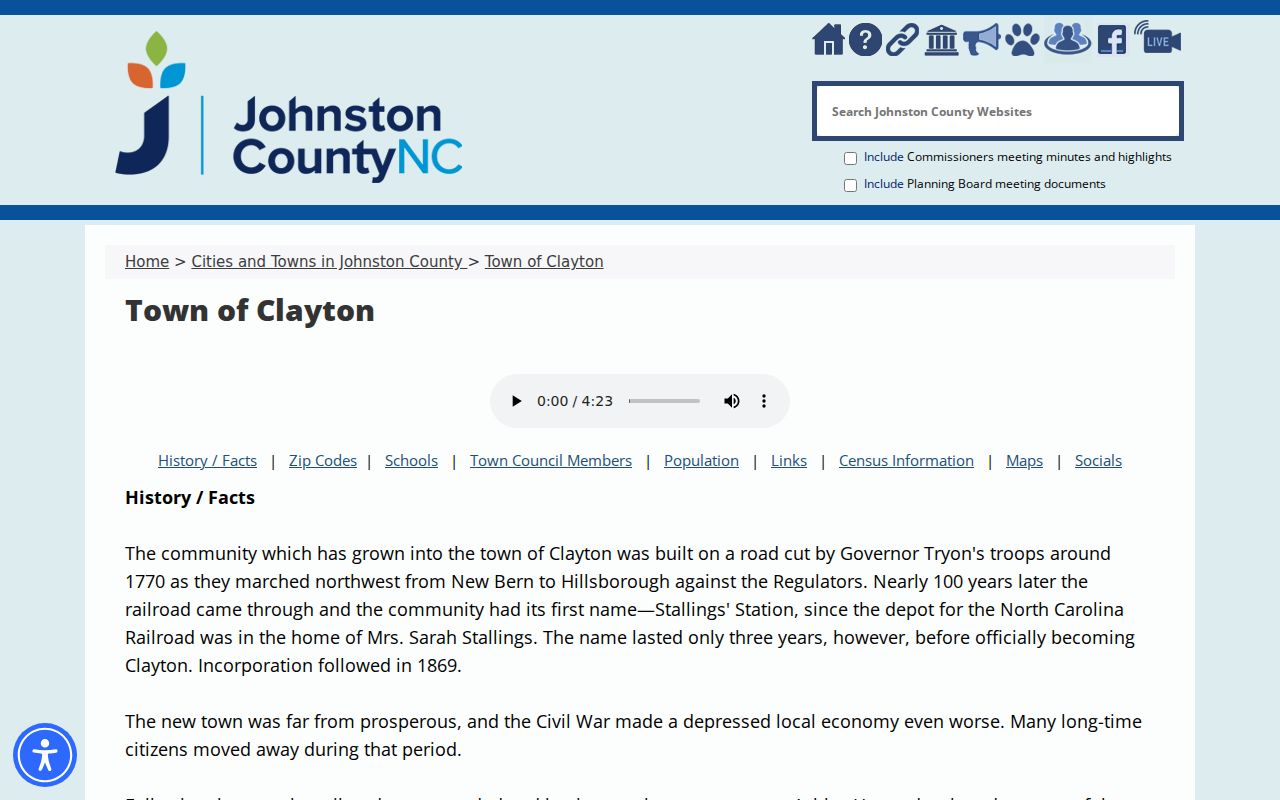
The table intentionally preserves the difference between a town-page association and a confirmed address-level postal assignment.
Use the same caution for an old directory or deed. A historic Clayton label can represent the town, Clayton Township, a rural delivery route, a precinct, or another nearby community. Postal information narrows the research, but the record's own date and geography remain the deciding context.
Clayton ZIP Code 27520 Beyond Town
Of the three codes, 27520 has the clearest county description. It is primarily Clayton, yet it also reaches unincorporated Wilsons Mills, Powhatan, and portions of Willow Springs. The county's dedicated description places the area roughly 16 to 20 miles southeast of Raleigh. That range explains why a Clayton postal label cannot, by itself, establish whether an address is in the incorporated town, an unincorporated area, or a different service boundary.
The official 27520 description documents that broader postal geography.
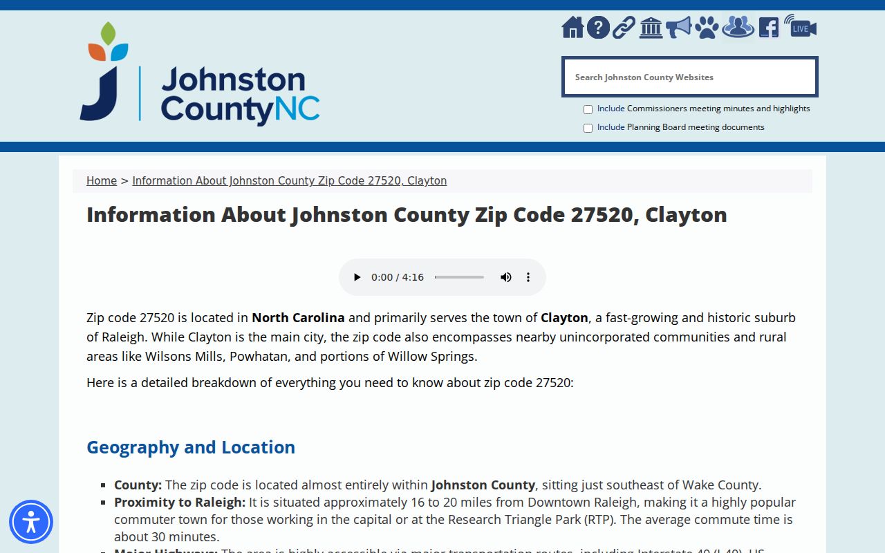
Use the code as one data point, then check the address against the town boundary and the county's mapped layers before drawing a local conclusion.
The wider 27520 description is a useful geography check for an address found in a deed, tax card, obituary, or historic directory. It does not tell which person lived at a parcel, and a tax owner or mailing addressee is not automatically the current occupant.
Clayton 27527 Needs a Street Check
County material pairs 27527 with Archer Lodge in its primary ZIP associations, while the Clayton town page includes 27527 among codes serving Clayton. Neither statement supplies a street-by-street municipal boundary. The sound approach is to retain both official observations and verify the individual delivery address. A mailing label can cross a city line or remain unchanged after surrounding land gains a different municipal relationship.
MapClick provides City Limits, township, ETJ, neighborhood, school, and district controls. Those layers can answer a municipal or service-area question, but the reviewed manual does not document a ZIP-wide filter. A postal code should therefore never be substituted for the City Limits layer.
When a record uses 27527, write down the full street address and the date before comparing it with the map. This makes it possible to separate a postal relationship from an annexation, tax, school, voting, or emergency-service question that uses a different boundary.
Clayton 27528 Is a Mailing Question
Official town material lists 27528, but the reviewed county primary-ZIP table does not give it the same Clayton or Archer Lodge association shown for 27520 and 27527. No official postal lookup session captured an exact ZIP+4 or station result for a sample Clayton address. The code belongs in a search note, not in a claim that every address in its geographic area lies inside Clayton.
Use the USPS address-to-ZIP lookup with the full current address whenever the exact mailing result matters.
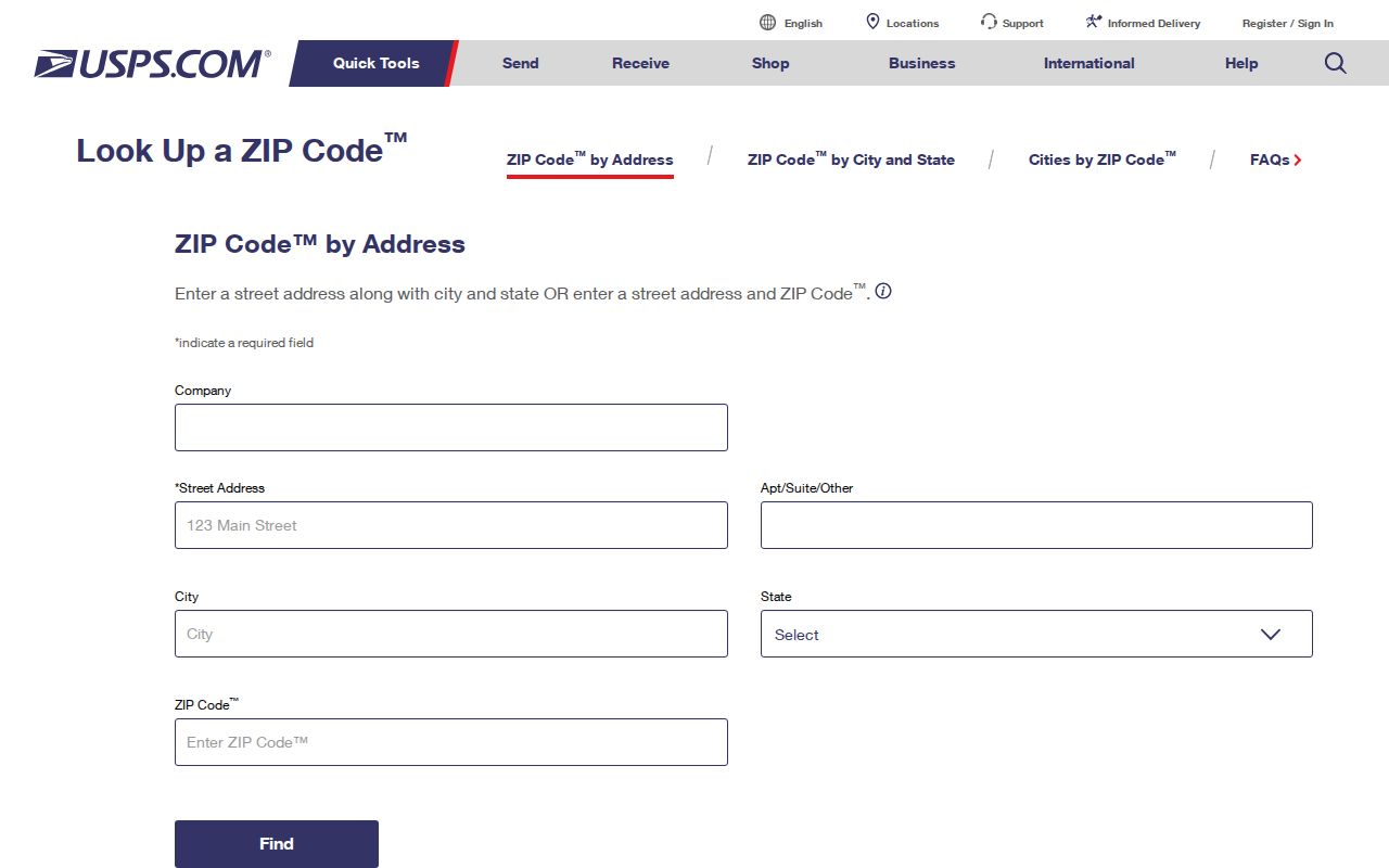
The captured form is a route to verification, not a recorded result for a particular Clayton property. Postal results can change, so retain the date of the check.
A PO box code, street-delivery code, and ZIP+4 can produce different useful details for the same household correspondence. Only the official response for the full current address can establish the active mailing assignment.
Note: No official USPS session, station assignment, ZIP split year, or realignment year was captured for the three Clayton codes.
Finding Clayton Residents Within a ZIP
A ZIP-wide resident list is not available from the documented local portals. The Johnston tax portal starts with property address, owner name, or parcel number rather than a visible postal filter. MapClick can search an address and center on a street when a house number fails, but its documented controls are geographic layers rather than a ZIP roster. The voter polling tool accepts city, state, and ZIP as part of an address search, while statewide voter data is better scoped through county, precinct, or district.
- Enter the complete current address in the USPS tool and save the returned mailing code or ZIP+4 for that address.
- Search the Johnston tax portal by property address, then retain the parcel or PIN instead of treating the tax owner as a household list.
- Open MapClick and compare the physical parcel with City Limits, ETJ, township, school, and district layers.
- Use the polling-place lookup to check address-based voting information where public rules allow, then keep its jurisdiction result separate from postal geography.
- When the question becomes one street or one parcel chain, use the Clayton street directory for the address-focused process.
The North Carolina polling-place lookup shows the address fields available for this kind of verification.
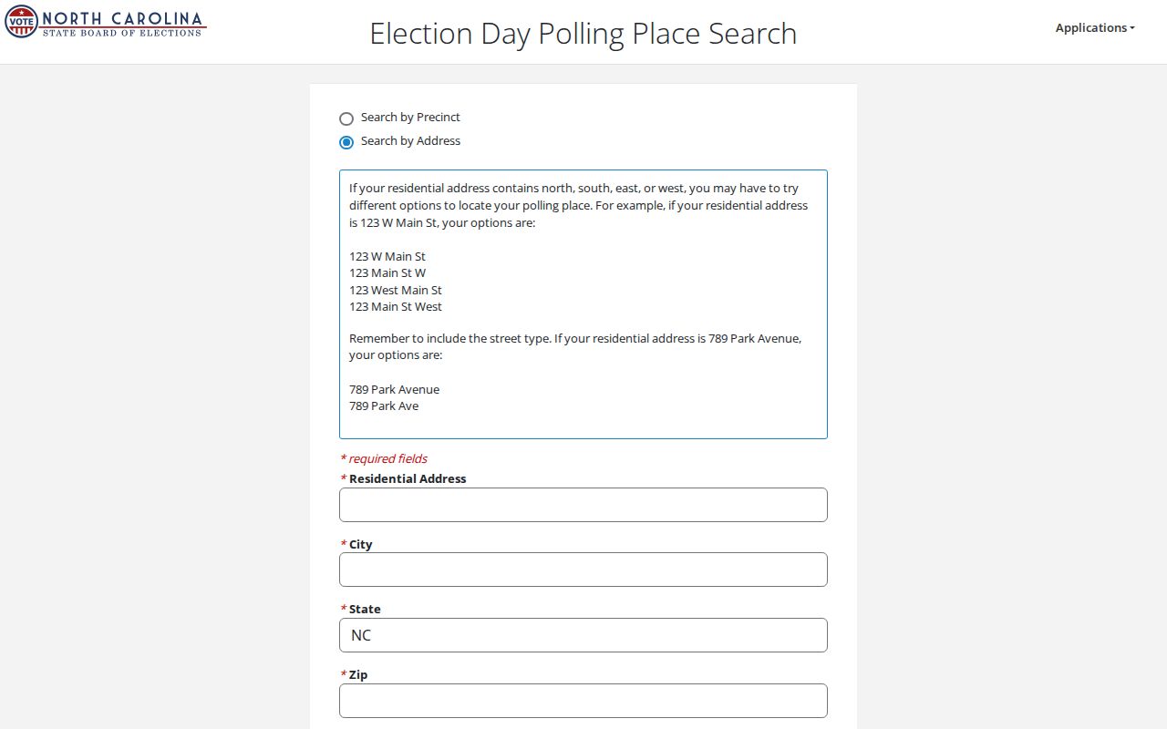
It can confirm an address-based jurisdiction search, but it does not turn a ZIP into a complete register of people.
| Search field | Use in an address check | Limit |
|---|---|---|
| Street address | Starts the polling-place address search | Use the complete current address when available. |
| City and state | Helps place the address in North Carolina | They do not establish a municipality from the postal label alone. |
| ZIP | Supports the address lookup | It is not documented as a countywide resident filter. |
Note: An address-based election lookup may clarify jurisdiction but does not identify every voter, resident, or household member in a postal area.
Clayton ZIP Address Fields Differ
Five address concepts can appear in Clayton research: the street or situs address, tax mailing address, deed return address, voter physical or mailing address, and postal ZIP. MapClick specifically distinguishes a mailing address from a physical address in parcel results. A tax mailing address may be outside Clayton. A deed return line can belong to a preparer, lender, or attorney. A voter mailing address can differ from the place where the person lives.
| Address field | What it identifies | Use with care |
|---|---|---|
| Situs address | The physical parcel location | Compare it with the map and parcel record. |
| Tax mailing address | Where tax correspondence goes | It may not be in Clayton or at the parcel. |
| Deed return address | Where an instrument is returned after recording | It can be a professional or institutional address. |
| Postal ZIP | Mail-delivery geography | It does not define city limits, township, or district. |
County permit searching adds another normalization rule: enter the house number as a number and use the full street name without a direction or street type. Preserve both the historic display and the normalized search form.
For an address near a boundary, retain the parcel or PIN after the tax search. That number can connect the physical location to MapClick and the deed index without assuming that a mail recipient, return address, or owner name identifies every resident.
Clayton Boundaries and Postal Limits
Postal, municipal, and record boundaries change on different schedules. A ZIP may cross a town or county line; a municipality can annex land while a mailing arrangement remains familiar; a rural route can later receive a street number. For a border address, record the municipality, township, ETJ, school, fire or rescue, and voting jurisdictions separately. They should not be compressed into one label.
The Johnston County MapClick resource page explains the county's map and control environment.
The map layers help test city limits and ETJ, while the postal tool verifies mailing geography. Neither replaces the other.
- ZIP+4
- An added four-digit delivery segment that needs an exact current postal lookup.
- PO-box ZIP
- A code used for post-office-box delivery, which does not identify a street location.
- Unique ZIP
- A code assigned to one organization or delivery setting; no Clayton example was documented in the reviewed research.
- Carrier route
- A postal delivery grouping. It is not a municipal district or a resident roster.
Historic rural-delivery entries make the distinction even more important. A 1950s or 1960s directory may use RD 1 or RD 2 Clayton instead of a modern street number. Pair the route with the directory year, a deed legal description, a plat, a tax card, or a historic map rather than forcing it into a current postal field.
Note: Map and postal checks should be dated because town limits and delivery geography can be updated on separate schedules.
Clayton ZIP Code Directory Gaps
No official source in the reviewed research supplied a ZIP split, realignment date, ZIP-wide population, exact post-office station mapping, or a street-level list for 27527 or 27528. Those gaps matter. A page should not fill them with a neighborhood label or a guessed boundary. For historical address work, compare the directory year, a deed legal description, a plat, tax material, and historic map instead.
Incorporated Clayton and Clayton Township also have separate population histories. The Heritage table reports the town at 754 in 1900 and 16,116 in 2010, while the wider township reached 30,712 in 2010. Those are useful reminders that place names and counts rely on different geographic units, not ZIP populations.
Future research should obtain the exact postal result before adding station details and should ask local archival staff for a documented postal-change source before asserting a realignment date. Until then, county ZIP descriptions, USPS verification, parcel geography, and the record date remain the responsible sequence.