
Find a Clayton Street Address
For a named Clayton street, begin with the physical address in Johnston County tax or map records. The tax owner is a lead, not a statement of who lives there. Keep the parcel or PIN, physical address, tax mailing address, legal description, and map location together. Each answers a different question. A number can be mistyped, a directional word may be omitted, and an owner may receive tax mail somewhere else. The goal is a dated record trail that can be checked one document at a time.
- Search the physical address through the Johnston County Public Access tax portal and save the parcel lead, owner, and both address forms.
- Open the same location in Johnston County MapClick to inspect the parcel, its physical address, map layers, and tax-card link.
- Use the tax owner as a grantee search in EagleWeb, then compare the deed legal description with the parcel.
- Follow the grantor and grantee sequence backward only when the instrument describes the same property or a related instrument.
- For a dated household clue, check a reverse directory, historical registration material, or a census source rather than treating today’s parcel owner as an occupant list.
Johnston County offices are largely in Smithfield because Clayton is not the county seat. Tax-card questions can go to the Tax Office at 919-989-5130, while recorded-instrument questions belong with the Register of Deeds at 919-989-5160. Those channels can clarify an existing record, but they do not turn a property record into proof of occupancy.
Note: Save the original street spelling beside any normalized search form so an older index can be checked without losing the address as first written.
Clayton Street Tax Starts
The county’s public-access landing page offers three first-stage choices: Property Owner Name, Parcel Number, and Property Address. Use the address choice first for a street directory search. If it does not produce a clean result, preserve the complete street name and try MapClick’s street-oriented tools before guessing at an owner name. The portal’s later field behavior was not exposed in the research capture, so exact wildcard rules, result pagination, and field requirements should be tested in the live service.
A returned parcel can show a tax owner, acreage, value, physical address, mailing address, and a tax-card route. It may also lead to sales information. Treat the physical or situs address as the location of the parcel, not an automatic residence claim. A mailing address can serve an owner, trustee, institution, or other recipient away from the parcel.
Clayton Street Directory Search Fields
The Johnston County Public Access portal makes the initial search method visible before it reveals method-specific forms. The field table records the controls observed in the official capture. It helps prevent an address search from being mistaken for an owner-name search or a sales-history result.
| Portal control | Observed format | Street-directory use |
|---|---|---|
| Search By | Required dropdown | Choose Property Address, Property Owner Name, or Parcel Number. |
| Property Owner Name | Method option; later text field was not captured | Find tax-owner parcel leads after an address produces a name. |
| Parcel Number | Method option; county format was not shown | Return directly to a known parcel. |
| Property Address | Method option; later field was not captured | Start with the situs address and test spelling variations. |
| Basic Search / Sales Search | Separate tabs | Use basic parcel access first; sales search has its own route. |
| Next and disclaimer | Button and accuracy notice | Advance to a live form and use the Tax Office for record questions. |
The tax portal compiles data from deeds, plats, and public records but does not warrant it as complete or error-free. For a street-by-street inquiry, write down the parcel identifier before leaving the result. It is the strongest bridge to a tax card, MapClick view, legal description, and later deed search.
Clayton Street MapClick Layers
MapClick is the county’s address backbone. Its controls include address, owner, deed book and page, map sheet, NC PIN, subdivision, township, City Limits, ETJ, school, fire and rescue districts, coordinates, and deed or plat images. The Query menu also includes parcel, multiple-parcel, street, zoning, permit, tax-card, neighborhood, and layer options. Entering a street without a house number can center the street when a numbered address fails.
Inspect the parcel geometry before making a connection. The viewer can display the physical address, mailing address, owner, value, acreage, city-limit and ETJ context, as well as links to a tax card. It also has reports and export controls. A map result is useful evidence of how county systems describe land, but it is not a legal title opinion.
- Parcel or PIN
- A county identifier for a mapped tract. It keeps a search tied to land even when the street form varies.
- Situs address
- The physical location used for the parcel. It can differ from the address used for tax mail.
- Plat
- A recorded map showing a subdivision or lot layout. It helps compare legal descriptions with parcel boundaries.
- Criss-cross directory
- A dated directory arranged by address or street, used to find historical household or business entries.
Note: MapClick moved to a new server in July 2026, and the county warns that some tools may require pop-ups.
Clayton Street Records by Address
Address-keyed sources are strongest when they are used for their separate roles. The tax roll and MapClick identify the parcel. EagleWeb supplies recorded transaction parties and legal-description continuity. Permit systems provide dated work records, while voter and directory material can be a separate, limited household clue. No single column below confirms every person connected to a Clayton street.
| Address record | Clayton or county keeper | Useful result | Access channel |
|---|---|---|---|
| Tax parcel and card | Johnston County Tax Office | Tax owner, parcel, physical and mailing address, acreage, value | Public Access portal; Tax Office questions |
| GIS parcel view | Johnston County GIS | Geometry, layers, districts, tax-card and deed/plat leads | MapClick viewer and county GIS notices |
| Recorded instruments | Johnston County Register of Deeds | Grantor, grantee, reception number, date, legal description | EagleWeb index, office copies, Heritage microfilm |
| Permit records | Johnston County and Town of Clayton | Service address, work type, date, status, public project fields | County portal, town ePermits, department for older material |
| Voter registration | NC State Board and Johnston Elections | Public registration and district evidence where allowed | State lookup or a county data request subject to protections |
| Historical directories | DigitalNC and local history keepers | Dated address, residence marker, and directory context | Digitized scan, library, or Heritage Center |
For voter information, the state lookup is principally name-based. A county voter-data request can have its own scope and filters, but protected addresses and excluded identifiers remain protected. Treat registration as dated evidence, never as a complete street roster or proof that a person currently lives at a parcel.
Clayton Permit Hub Records
Permit records add a dated address layer. Johnston County’s online permit search has a six-year web lookback, with older records routed through the department. The county’s instructions call for a numeric house number and complete street name, while omitting direction and street type. That normalization is worth trying before a street result is treated as missing.
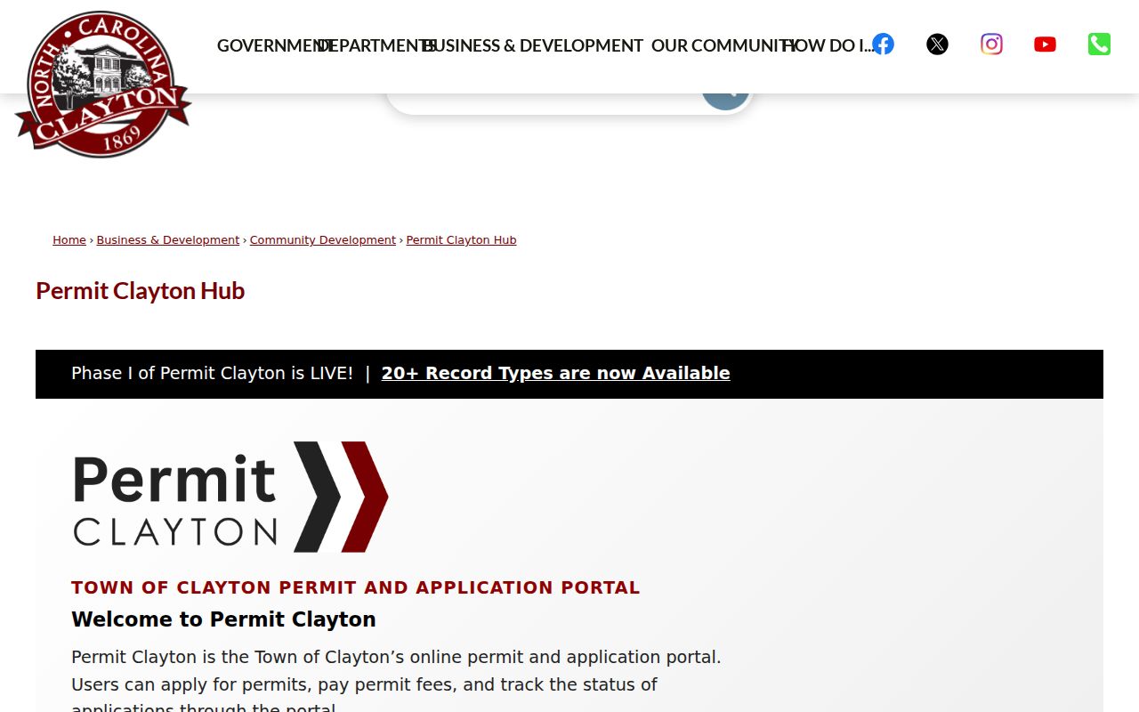
The Town of Clayton announced the Permit Clayton Hub in July 2026, with public access to more than 20 record and form types beginning July 13. The Hub expands the municipal address trail into zoning verification, tree clearing, floodplain, sign, driveway, development, wastewater, and transportation material. It is a timely source, but a permit still records a project or application, not a present household.
The Permit Clayton Hub announcement documents the town’s public-access categories.
Use the department contact route when the public result stops at a summary or when the needed project predates the online lookback.
Note: A code complaint or permit entry can identify an address record without proving that work was completed or that anyone occupied the property.
Clayton Street Deed Trail
EagleWeb searches grantor, grantee, reception number, date range, and document type. Once the tax owner is known, search that person or entity as a grantee, open the recent conveyance, and compare its legal description with the parcel. The seller becomes a candidate for the next earlier instrument. EagleWeb’s Find Related tool can help when instruments share a description or refer to a prior record.
Record each instrument separately: reception number, recording date, document type, parties, book and page when supplied, legal description, subdivision or lot wording, parcel references, and related instruments. A deed, deed of trust, release, easement, and plat do not establish the same thing. In particular, a return address or preparer field should not be turned into a statement that someone lived on the Clayton street.
The Johnston County Register of Deeds office is the official route for instrument questions and copies.
The office provides recorded-document access, while the tax and GIS tools remain the practical route from a street address to a name for an EagleWeb search.
EagleWeb’s deed-chain help shows the grantor, grantee, date, reception-number, related-document, and image workflow.
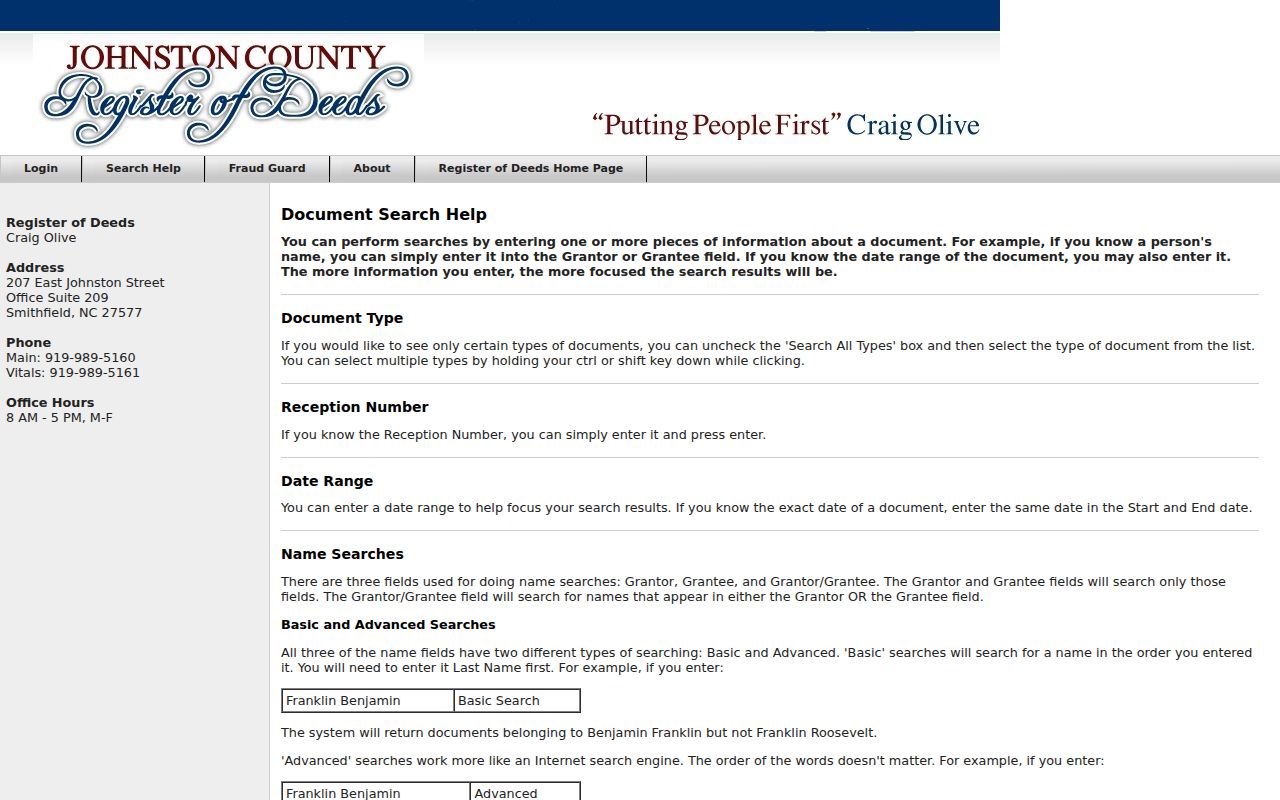
Following the recorded sequence is more dependable than assuming a street address itself is searchable in the deed index.
Clayton Street Directory Past Layer
The historical street layer comes from reverse or criss-cross directories, not the current tax portal. A directory organized by address can offer a dated name, residence marker, and address context. The 1947 Johnston County City Directory and Hill’s Smithfield-Selma items from 1957, 1959, 1961, and 1963 are regional material. They can include Clayton references or rural delivery, but they are not a complete Clayton-only run.
Read the scanned page, not only its OCR. Initials, numbers, and abbreviations can be misread. Preserve the publication title, year, page, exact wording, and geography before pairing a household clue with a deed, tax record, permit, obituary, or census source. The collections themselves are described on the Clayton city directory page.
For older deeds, the Heritage Center lists Johnston deed microfilm from 1759 through 1947. Its reading room at 241 E Market Street in Smithfield is generally open Monday through Friday, 9 to 5, with Saturday access by appointment. Contact the center before travel because some physical items are offsite or non-circulating.
Clayton Address Geography Checks
MapClick’s City Limits and ETJ layers answer a different question from a mailing address. Clayton is associated with ZIP codes 27520, 27527, and 27528, and a Clayton mailing address can reach beyond the town limits. A search result should therefore preserve the street, parcel, township, city-limit or ETJ layer, and ZIP separately rather than treating them as one jurisdiction.
This also protects a street directory search from false matches. A rural-delivery line in a dated directory, a voter mailing field, a deed return address, and a tax mailing address may each describe a different connection. Verify the physical parcel and legal description before joining them into a property trail.
Note: No official Clayton-wide street renumbering or renaming archive was located, so an unexplained address change should be checked against the parcel and legal description.
Limits of Clayton Street Searches
A Clayton street directory can identify public property and record leads, but it cannot prove every current occupant. Tax ownership, a deed party, a voter record, a permit applicant, and a dated directory entry have different limits. Protected addresses, excluded voter identifiers, confidential matters, sealed material, and sensitive fields can be withheld. Utilities and motor-vehicle records are not a substitute for these public county sources.
The North Carolina Public Records Act allows inspection of public records, but it does not require an agency to create a new people list. A focused request to the right custodian should name the address, parcel, record type, date range, and desired public attachments. Ask whether segregable public portions are available if a record is partly withheld.