
Clayton Neighbors Around One Parcel
A useful Clayton block inquiry separates the source from the conclusion. Johnston County MapClick shows Clayton parcel geometry and can link an address to a PIN, owner, physical address, mailing address, tax card, layers, and related images. The Clayton tax search supplies the tax-owner lead. Clayton EagleWeb supplies recorded parties and legal descriptions. Clayton voter material supplies public civic-registration information within state limits. A Clayton historical directory can put a name at an address in a particular year. None is a current household census.
| Source | What It Shows About a Block | Access and Limit |
|---|---|---|
| Clayton-area Johnston County MapClick | Clayton parcel outlines, owner and address data, map layers, permits, tax card, and adjacent-parcel context. | Public Clayton map; an owner is not a verified occupant. |
| Clayton-area county tax search | Clayton parcel-level tax owner and property-card lead. | Current Clayton public tax lead; older material may require the Tax Office. |
| Clayton EagleWeb | Clayton historic owners, recorded parties, and legal-description trail for each parcel. | Clayton documents and images can have copy, fee, and redaction limits. |
| Clayton NC voter lookup and files | Clayton public registration and district fields where access is allowed. | Protected Clayton addresses and excluded identifiers remain unavailable. |
| Clayton historic directories and archives | Dated Clayton residents or businesses by street or address. | Clayton years and geography are incomplete; a historical entry is not a current roster. |
For Clayton neighbors, record the Clayton parcel and source date before collecting names. A Clayton physical address, tax mailing address, deed return address, and voter mailing address can differ. The Clayton county record systems provide property and civic clues, but unlisted household members, children, unregistered adults, and people in protective programs can be absent.
Clayton Neighbors Through MapClick Buffer
The Clayton MapClick manual gives a practical, bounded method for the immediate Clayton block. Search the Clayton target address, select the Clayton parcel, open Select > Buffer Area, choose a buffer size, and click the parcel. The tool collects surrounding Clayton parcel names and addresses. Multiple-parcel, tax-information, and multiple-layer queries can then add owner, address, value, city-limit, ETJ, and zoning context. Allow pop-ups when opening a Clayton deed or plat image, tax card, or report.
The Johnston GIS search-resources page connects the Clayton map tools with parcel, property-card, tax-bill, and deed routes.
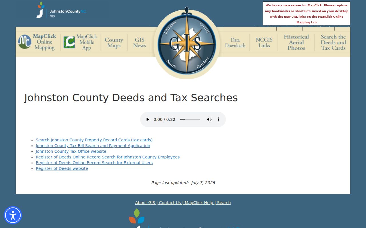
Use the Clayton buffer as a research boundary, then note each selected Clayton parcel’s PIN and the map rule used. The tool can create mailing labels, but a private Clayton research result should not be republished as a people list.
- Locate the Clayton target with the street address, keeping the original spelling when the first search does not resolve.
- Click the Clayton parcel and use a documented buffer size or a visual shared-boundary rule.
- Write down the Clayton PIN, physical address, tax mailing address, and layer context for each selected parcel.
- Open the Clayton tax card and EagleWeb only to test the parcel or legal-description trail, not to infer occupancy.
- Use the Clayton street directory when the question shifts from one block to a full named-street record chain.
Clayton Neighbors PIN and Deed Trail
A Clayton PIN is the county parcel identifier used to keep the map and property record tied to the same land. It is safer than a Clayton name alone when several people share a surname or when a Clayton street address has formatting differences. Preserve the Clayton parcel’s physical address and mailing address separately, then search the tax owner in EagleWeb. Compare the grantee or grantor, recording date, legal description, and related records with the Clayton parcel card.
The Clayton deed chain describes recorded ownership, not every person who has lived at an address. An unrecorded private arrangement, a household member, or a later move may never appear. A Clayton deed return line can point to a lender, preparer, or attorney. The most responsible Clayton block note names the record type and date, rather than turning a parcel lead into a claim about a present household.
Note: MapClick map output is not a title opinion, and tax ownership is not a substitute for a certified title search.
Clayton Neighbors and Permit Activity
Address-keyed permits can add a narrow, dated property context. Johnston County’s permit site says its web search reaches the previous six years, with older material routed through the department. Permit records can show a project, applicant or owner field where public, inspection activity, status, and work type. They do not prove that work was completed or that a named applicant lives at the property.
The Johnston County permit search provides the county route for recent records.
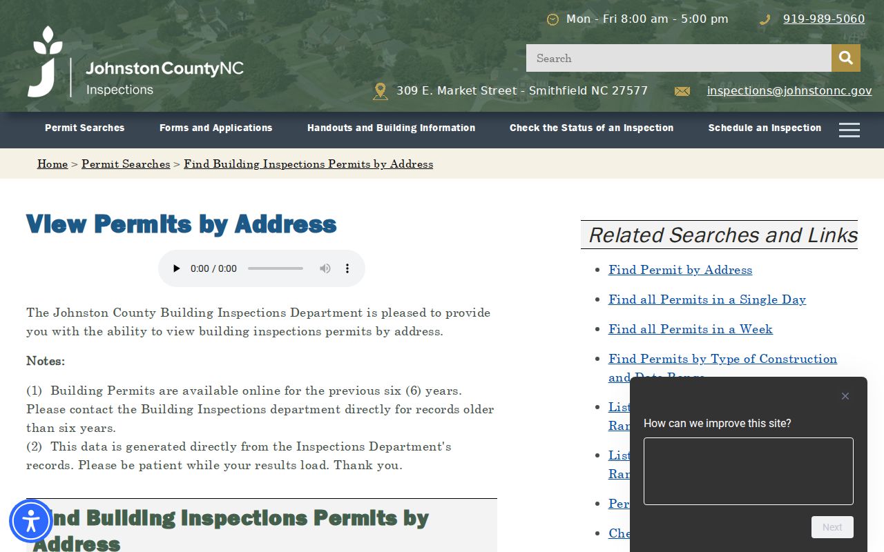
The county’s online time boundary means an older block question may need a direct department request instead of a blank web result.
The county work-type lookup is another permit-search entry point when a project type is known.
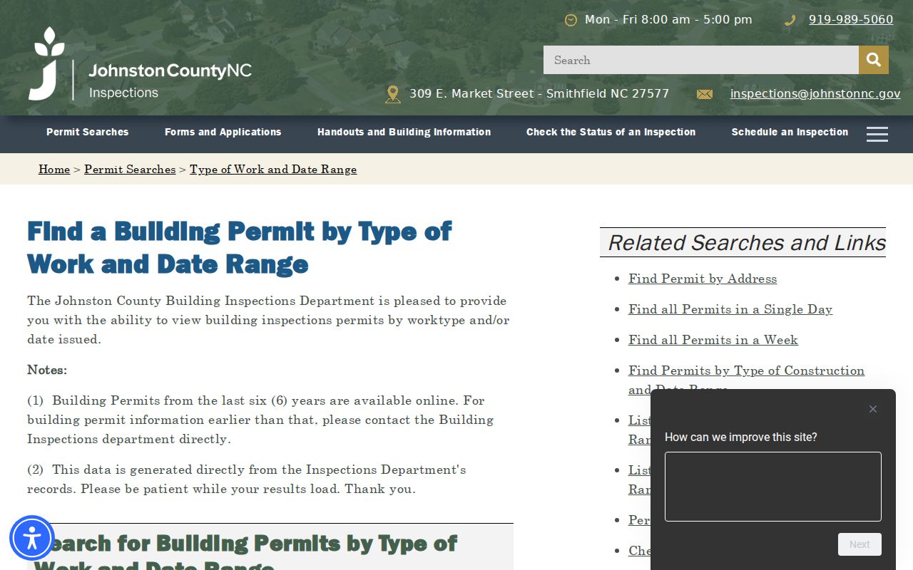
Use a permit type and date as context for the parcel record, not as a reason to identify or contact a household.
The Town of Clayton ePermits page identifies the municipal permit and inspection route, which is separate from county material.
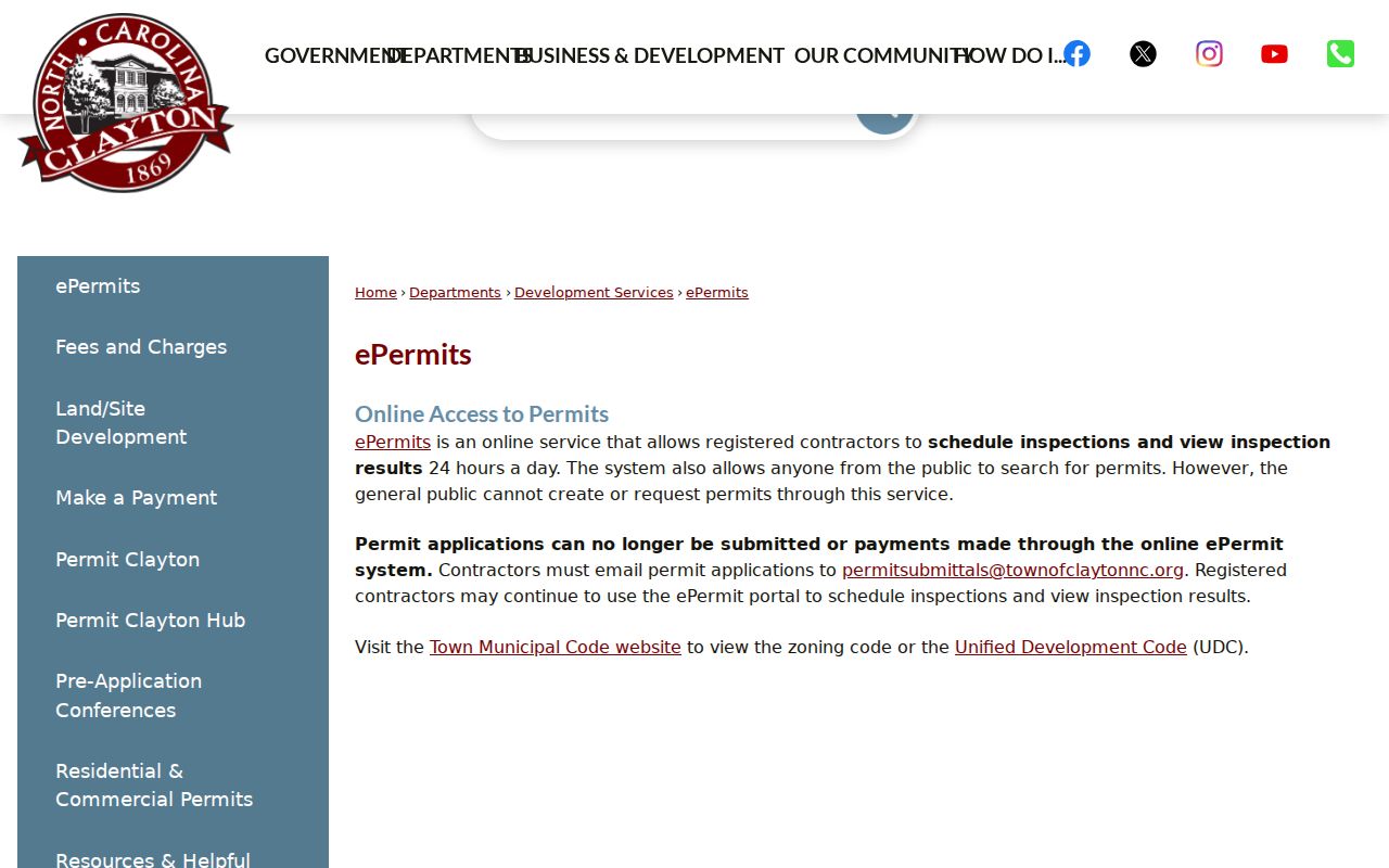
Check the office responsible for the address and record type, because town limits, ETJ, and county jurisdiction do not always line up.
Clayton Neighbors Voter-File Boundaries
North Carolina voter information can show public status, party, county, precinct, municipality, districts, polling place, sample ballot, absentee status, and voting history or method. It does not show ballot choices. The state lookup requires first name and last name, with optional middle initial, year of birth, county, and status choices. County files can be broader, but their use follows Board of Elections rules and the county data-request form.
Clayton addresses can fall within overlapping town, precinct, ward, commissioner, legislative, and congressional boundaries. Use MapClick’s City Limits, Township, ETJ, and district layers only as geographic context. Use the voter lookup as the authority for an individual’s election jurisdiction. A ZIP code or a nearby address cannot assign a district for someone else.
Protected voters and participants in confidentiality programs can have an address withheld. Public voter files exclude full date of birth, Social Security, driver-license, and similar identifiers. A registration result is dated civic evidence, not a guarantee that a person is a current occupant of the parcel.
Clayton Neighbors Without an HOA Roster
No official consolidated directory of Clayton neighborhood associations, HOAs, block watches, or membership lists was located in the reviewed town and county sources. That is a real research gap, not a reason to infer association membership from a subdivision name, a parcel map, or a social group. Private neighborhood and congregational directories remain private unless their own custodian makes a public version available.
Public-facing civic sources can still add neighborhood context, but they are not association rosters. The town’s advisory boards, civic meeting materials, planning and permit documents, and library community-history work may identify a boundary, notice, project, or archived institution. Use those sources for their stated purpose and do not label any of them a household directory.
| Public civic route | Useful block context | What it does not provide |
|---|---|---|
| Clayton agendas and minutes | Public meeting notices, agenda packets, and civic matters. | HOA or block-watch membership. |
| Planning and permit records | Address-linked public project or jurisdiction context. | A complete household or community-group list. |
| Hocutt-Ellington Memorial Library and Heritage Center | Historic local institutions, newspapers, yearbooks, and archival leads. | Current private contact details or membership. |
Clayton Neighbors in Local History
Clayton’s older record geography is a useful reminder that a block has more than one name over time. The town began as the railroad stop called Stallings’ Station and incorporated in 1869. Older deeds, newspapers, family papers, and directories may use Clayton Township, a rural-delivery route, a precinct, or a neighboring community instead of the modern town name. Search the place name used when the record was created.
Historic directories, the Clayton News and Clayton News-Star, school yearbooks, cemetery files, and the Heritage Center’s collections can place people or institutions on a street at a particular date. Read them as historical context. The map’s City Limits and ETJ layers, the tax card, and the voter lookup each answer different geography questions, so a Clayton mailing address does not automatically establish town-limit residence.
Clayton Neighbors and Privacy Limits
Official property and civic records answer narrower questions than commercial neighbor tools. A county parcel record supplies a source and date tied to land. A voter record supplies limited registration evidence. Commercial services can combine public fragments, brokered data, and marketing attributes, but their freshness, identity matching, and lawful-use limits vary. They are not a replacement for the custodian record and cannot override a protected address or confidential file.
| Official record route | Commercial neighbor category |
|---|---|
| Names the custodian, record date, and field scope. | May combine fragments with different dates and matching rules. |
| Shows a specific parcel, filing, or public civic field. | May suggest connections that need verification with the original source. |
| Preserves redaction and protected-address rules. | Does not authorize reconstruction of withheld information. |
North Carolina’s Address Confidentiality Program uses a substitute address for eligible survivors of domestic violence, sexual offense, stalking, and human trafficking. G.S. 132-1.10 also provides a redaction route for sensitive personal and financial numbers in Register of Deeds and Clerk documents. Do not repeat a shelter, confidential-program, or protected address found in a search result.
Lawful use. Keep a block inquiry limited and source-based. Never use parcel, voter, map, or permit information to watch, harass, intimidate, or expose another person.